Purpose
The West Twin River watershed is one of seven watersheds within the Twin-Door-Kewaunee River Basin. The West Twin River watershed is located in north central Manitowoc and southeastern Brown Counties, with a small portion extending into southwestern Kewaunee County. Portions of the city of Two Rivers also lie within the watershed boundaries. Soils include primarily gently to steep sloping well-drained sands and loams, and some clay soils. Soils are loamy throughout the northwestern reaches.
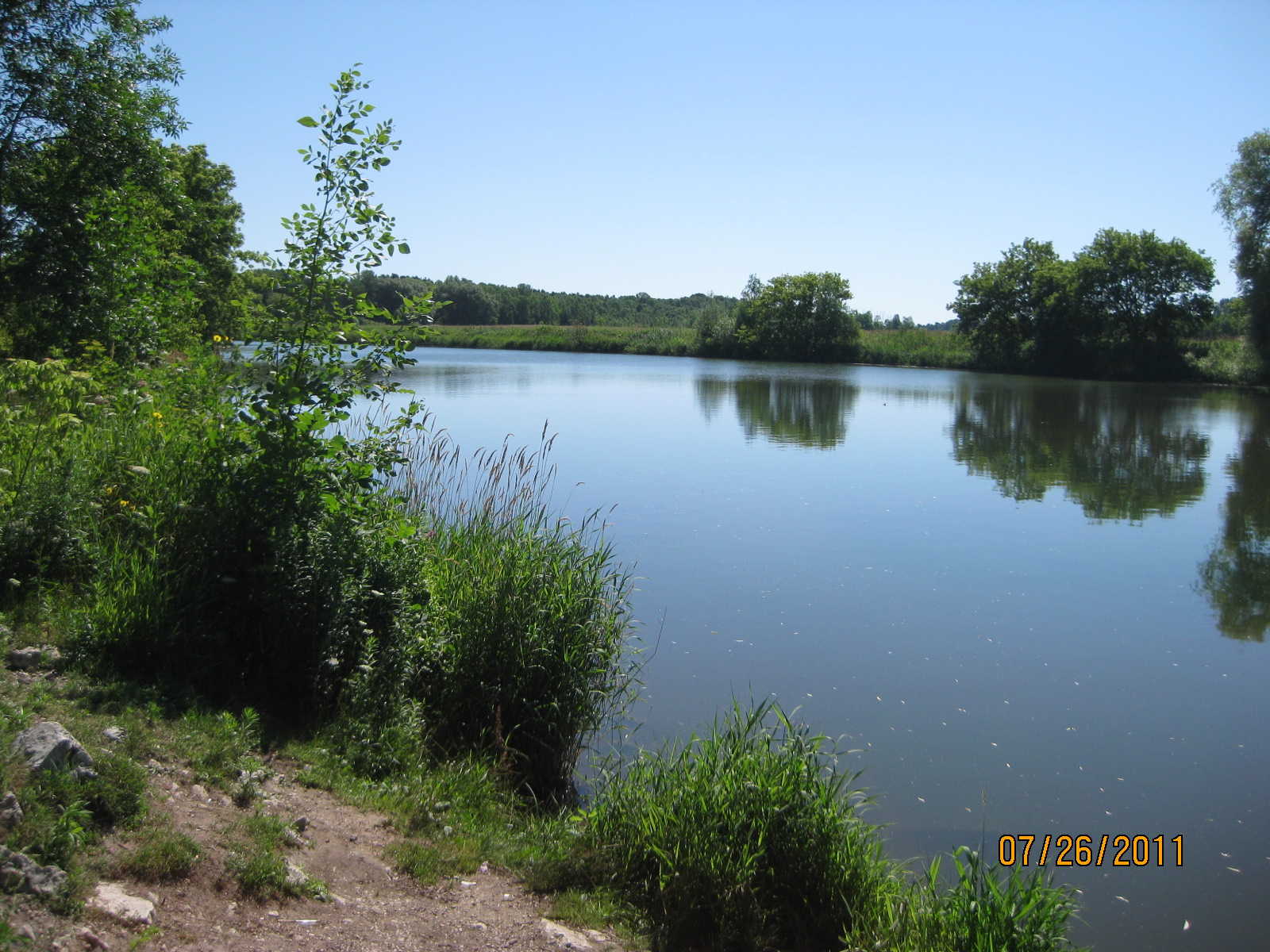
The West Twin River begins at the confluence of the Neshota River and Devils River and has a combined watershed area of 176 square miles. There are 29 named streams and rivers in the watershed and five lakes that are 10 acres or larger, as well as, a number of high quality spring pond wetlands. The Land use is largely agricultural but some industries border the river in the city of Two Rivers.
The Shoto dam, 5.9 miles upstream of the mouth, divides the West Twin River into upper and lower reaches. Lake Michigan seiche effects (tidal flows) extend approximately 1.5 miles upstream of the mouth. In the reach below the dam, the river supports a good warmwater fishery of northern pike, smallmouth bass, rock bass, perch and channel catfish. Anadromous (running) salmon and trout from Lake Michigan run seasonally up to the Shoto dam. Natural reproduction of coho and chinook salmon, rainbow trout and walleye in this reach is doubtful. The presence of these fish is attributed to WDNR stocking efforts. Nonpoint source water pollution effects in this reach are generally mitigated by a buffer of cattail marsh along the banks.
The warmwater fishery above the dam is limited by agricultural nonpoint source water pollution and low flows. This reach supports rock bass, channel catfish and northern pike. Two small sections (totalling 1.1 miles) of the West Twin River above the dam are classified as Class II trout waters, but it is doubtful this use is being supported (Fago, 1985). The greater redhorse (Moxostoma valenciennesi) has been found in the West Twin-Neshota River system. This fish is listed as a threatened species in Wisconsin.
Fisheries managers believe that the entire reach above the Shoto dam is being extensively affected by sediment deposition and nutrient enrichment from agricultural runoff and should be classified as a warmwater fishery. This potential is only partially being supported and the fishery could be improved through nonpoint source controls. The dam at Shoto is limiting the fishery potential by blocking fish migration. Wetland restoration activities could improve runoff quality.
Objective
This watershed is primarily agricultural, with a smattering of towns and villages throughout the land area (Figure 1) . Shoto, Rockwood, Kellnersville, Maribel, Cooperstown, Francis Creek, Denmark, Shirley and Langes Corners are located in this watershed, and a portion of the city of Two Rivers also lies within the watershed boundaries. Agriculture is the primary land use and, despite signifi cant work to improve conditions, the West Twin runs clay brown for at least several days after rainfall events. Rural runoff
(i.e. fi eld erosion) is still a major issue in this watershed.
However, signifi cant resources have been expended to install manure storage facilities, reduce streambank pasturing, and increase nutrient management planning. Yet, more work is needed; there continues to be signifi cant runoff pollution from agricultural fields. This issue can be addressed through county conservation programs. However, there are some inadequacies in the programs, and recommendations are included for increasing agricultural runoff program effectiveness.Study Design
Watershed specified for planning and assessment purposes. Assessment of water quality condition in this respective county will use protocols described in WisCALM of the year of assessment. Minimum assessment work includes biological data (macroinvertebrates, fish indices), chemistry and habitat data. Additional work includes identification of priorities and goals, creating recommendations for actions, and updating narratives for watersheds and waterbodies. Assessments are to be double checked by at least one additional biologist.Related Reports
Run Project Summary ReportView Umbrella-ProjectsView Related-ProjectsWater Quality Planning
Targeted Watershed Plans
TK01_WTPLAN
2009
Complete
Watershed at a Glance
326400 - Loon Lake Loon Lake – Wescott Management District (Lake Association) AIS control application for grant
Dams and Outfalls
Wetland Map
3 Watershed_landuse_West Twin River
Watershed_portrait_West Twin River
2 Watershed_ORW303D_West Twin River
Assessments and recommendations for the Watershed.
Water Quality Planning
Project: West Twin River (TK01) Watershed Planning