Purpose
Watershed plan update 2011. The Waumandee Creek Watershed is approximately 142,060 acres in size and consists of over 842 miles of streams and rivers, 357 acres of lakes, and 8,254 acres of wetlands. The watershed is dominated by forests and agriculture.
This watershed was selected as a priority watershed project in 1985 under the Wisconsin Nonpoint Source Pollution Abatement Program. The Waumandee Creek Priority Watershed Plan (1990) is amended to this plan. Major objectives of the project are decreasing sediment loading to the Fountain City backwater complex and improving water quality of the streams in the watershed. The Waumandee Creek Watershed has severe nonpoint source pollution impacts degrading all of the streams. Many of the streams have also been severely channelized which signifi cantly reduces the potential to improve fishery habitat in these streams.Study Design
Watershed specified for planning and assessment purposes. Assessment of water quality condition in this respective county will use protocols described in WisCALM of the year of assessment. Minimum assessment work includes biological data (macroinvertebrates, fish indices), chemistry and habitat data. Additional work includes identification of priorities and goals, creating recommendations for actions, and updating narratives for watersheds and waterbodies. Assessments are to be double checked by at least one additional biologist.Related Reports
Run Project Summary ReportView Umbrella-ProjectsView Related-ProjectsWater Quality Planning
Targeted Watershed Plans
BT06_WTPLAN
2010
Complete
Irish Creek Valley Overlook
Assessments and recommendations for the Watershed.
Watershed at a Glance
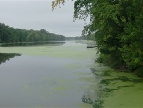
Waumandee Creek photo
Waumandee Creek Watershed Sediment TMDL for Streams
Water Quality Planning
Waumandee Creek Watershed Planning