Purpose
The Kewaunee River Watershed is located in Kewaunee County and the eastern edge of Brown County and is 91,009 acres in size. It contains 295 miles of streams and rivers and 7,313 acres of wetlands. The watershed is dominated by agriculture (75%) and is ranked high for nonpoint source issues affecting streams and groundwater.
Upper reaches of the watershed have forage fisheries because of low flows and warm water temperatures. Most of the remainder of the watershed supports warmwater sport fisheries, although several tributaries and one section of the Kewaunee River are designated as trout fisheries. All perennial streams within the watershed experience seasonal anadromous migrations of trout and salmon from Lake Michigan. The Wisconsin Department of Natural Resources (WDNR) built and operates an egg collection facility for Lake Michigan trout and salmon on the lower portion of the Kewaunee River.
Water quality has been and still remains a major concern within the watershed. Based on watershed models, it is estimated that the Kewaunee River delivers 1,900 tons of sediment per year to Lake Michigan (WDNR 1995). Along with sediment, phosphorus, nitrogen and manure can be found in runoff reaching the Kewaunee River. It was estimated that between 1969 and 1978 the average phosphorus load of the river was 42,000 pounds per year with values ranging from 11,000 lbs/yr to 106,000 lbs/yr (WDNR 1984). Because of high levels of point and nonpoint source pollution, the Kewaunee River was designated as a Priority Watershed in 1982. When the Priority Watershed program ended on the Kewaunee River in 1992, 89 of 300 landowners had agreed to participate in the program. Although low in percentage, participation was average for Priority Watersheds begun in this time period. The effectiveness of phosphorus/sediment reduction practices in this project was never measured.
Study Design
Watershed specified for planning and assessment purposes. Assessment of water quality condition in this respective watershed will use protocols described in WisCALM of the year of assessment. Minimum assessment work includes biological data (macroinvertebrates, fish indices), chemistry and habitat data. Additional work includes identification of priorities and goals, creating recommendations for actions, and updating narratives for watersheds and waterbodies. Assessments are to be double checked by at least one additional biologist.Related Reports
Run Project Summary ReportView Umbrella-ProjectsView Related-ProjectsWater Quality Planning
Targeted Watershed Plans
TK03_WTPLAN
2010
Complete
Kewaunee River (TK03) Watershed OERW 2011
Kewaunee River (TK03) Watershed Land Use 2011
Kewaunee River (TK03) Watershed Basemap 2011
Kewaunee River (TK03) Watershed Dams and Outfalls 2011
Assessments information and recommendations for the Kewaunee R Watershed
TK03 Learn More Image
TK03 Goals and Priorities image
Watershed at a Glance
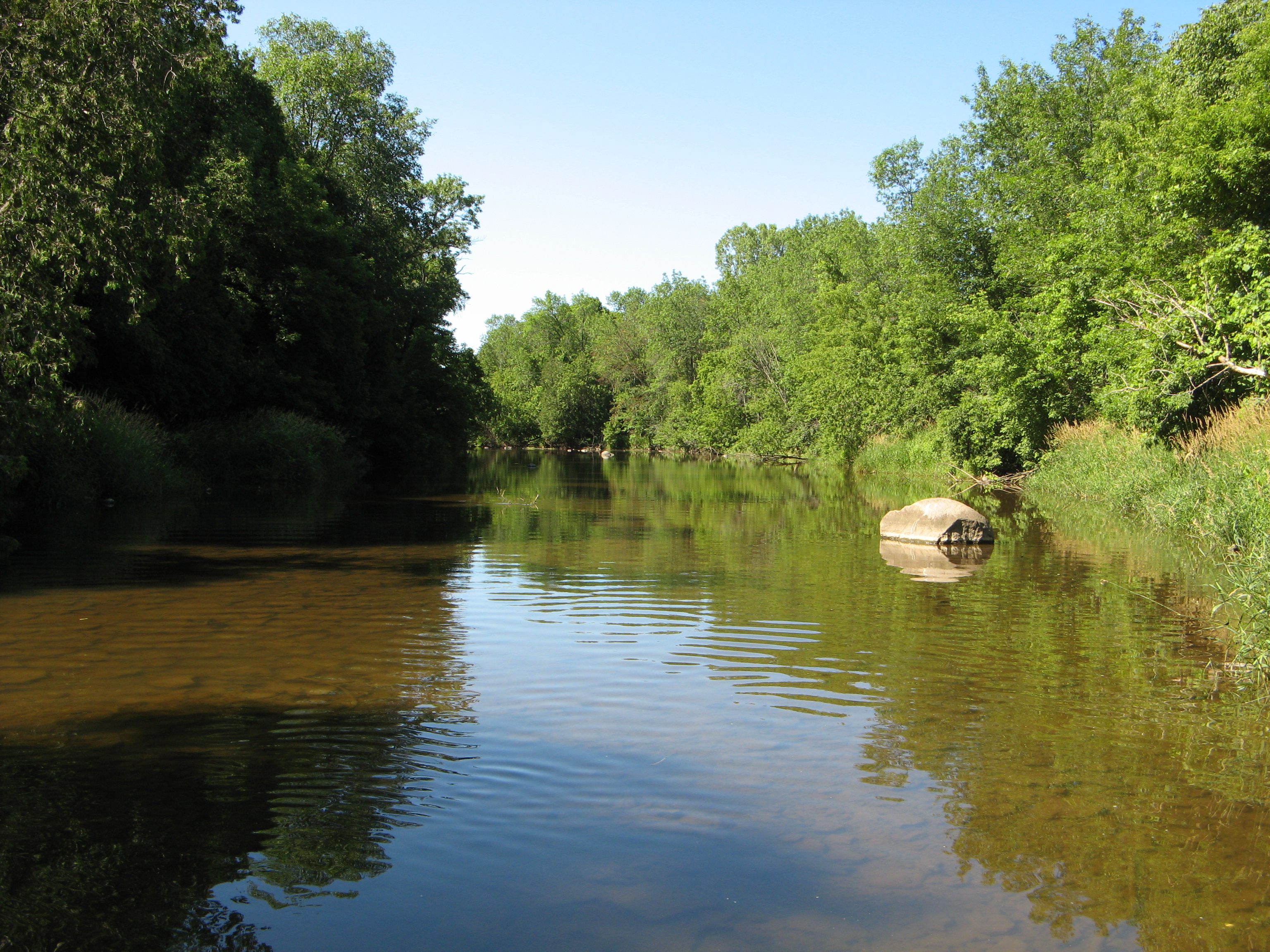
Photo of Kewaunee River
Kewaunee River, Kewaunee Baseline Monitoring Report (MWBC 90700)
Photo of Casco Creek.
Water Quality Planning