Purpose
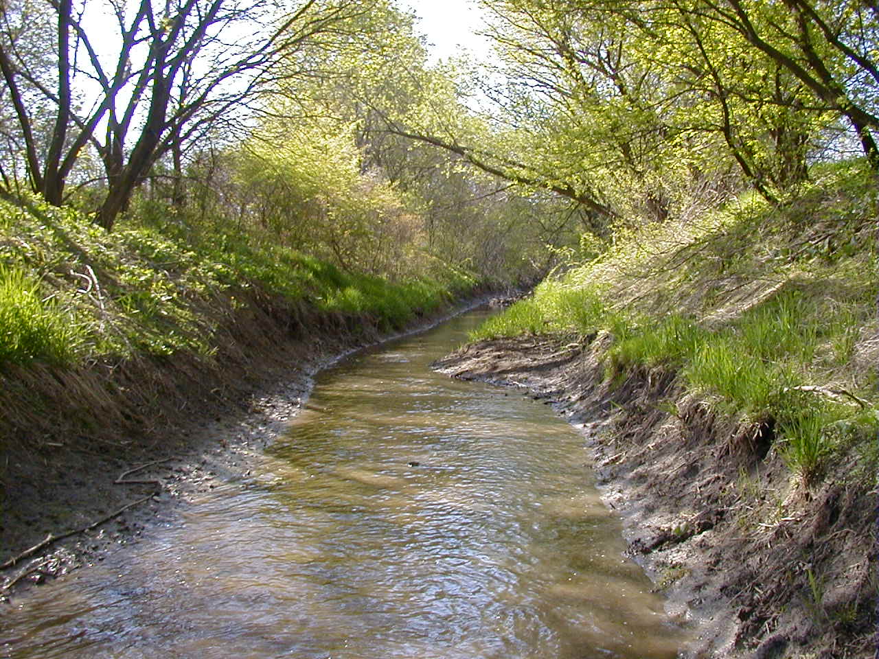
Watershed plan update 2011. The Des Plaines River Watershed covers 133 square miles, and lies mainly in Kenosha County, with a small portion in Racine County. Portions of the City of Kenosha and the Villages of Paddock Lake, Pleasant Prairie and Union Grove lie within the watershed. There are approximately 85 miles of perennial streams in the watershed. Th ere are no streams listed on the state’s 303(d) list. Due to heavy agricultural land use, some stream reaches in this basin are aff ected by increased nutrient loads, increased sediment loads, drain tile impacts and historic ditching. Since pre-settlement times, many of the wetland areas have been fi lled or tiled to provide for more agriculture.
Some areas of this basin still contain pirate perch, which are relatively rare in the state and historically found in this watershed. At 154 acres, Lake Shangrila-Benet is the largest of the lakes in the watershed. George, Montgomery and Paddock Lakes have participants in the Self Help Lake Monitoring Program.Study Design
Watershed specified for planning and assessment purposes. Assessment of water quality condition in this respective county will use protocols described in WisCALM of the year of assessment. Minimum assessment work includes biological data (macroinvertebrates, fish indices), chemistry and habitat data. Additional work includes identification of priorities and goals, creating recommendations for actions, and updating narratives for watersheds and waterbodies. Assessments are to be double checked by at least one additional biologist.Related Reports
Run Project Summary ReportView Umbrella-ProjectsView Related-ProjectsWater Quality Planning
Targeted Watershed Plans
FX01_WTPLAN
2010
Complete
Assessments and recommendations for the Watershed. Des Plaines River Watershed (FX01) Water Quality Management Plan
Watershed at a Glance
Water Quality Planning
Watershed Planning was conducted from 2010 to 2011.